Tuesday, October 7, 2014

Fall Colors On Sandia Crest

Yesterday I decided that the Fall colors up on the mountain were starting to fade and if I did not get up there I was going to miss it. That would not do at all. It has been pretty chilly in the mornings already so I made a mid morning departure so I would arrive mid day a great time for a Fall hike. I took my dog Sadie with me as she always enjoys going hiking with me. I did wear the poor thing out though. She slept the rest of the day.
Beautiful colors from green to deep orange.
The oaks were turning and you can see the aspen in the distance with their gold color
The trail at the top was aglow with colors


The Aspens were beautiful

Some aspen were barely turning
Some Aspen where at the height of color
The gold aspen were so pretty against the evergreens

This group is almost done, but so beautiful still
The forest floor was littered with the golden aspen leaves


Tuesday, September 2, 2014

Labor Day Weekend in Colorado


Mainstreet Ouray Colorado
We spent Labor Day Weekend in Ouray Colorado. It is just a spectacular place to visit with so much outdoor stuff to do. We did not do any hiking but instead spent time with our daughters. On Sunday we rented a 4 wheeler and went over 4 passes and back. First Corkscrew Pass, Hurricane Pass, California Pass and down to Silverton for lunch and then back. It was an awesome day with stops at abandoned mines to read the signs. We also stopped at Animas Forks which was once a very hopping mining town. I will have to say that the people that mined up in the high country of Colorado must have been a very hearty stock.


Placer Colorado


Red Mountain Colorado
Now back home it is back to the stair stepper. I am hoping to get some Fall hiking in on Sandia Crest.

Tuesday, August 5, 2014

Checking out the Pecos

 We took a wonderful day trip on Sunday. It started with me being woken by my Dear Husband (DH) saying we should take the bike out for breakfast and a ride up to the Pecos. Hummm..........sure sounds better than any plans I had. So I got out of bed and put on my riding clothes and we headed out the scenic way up the Turquoise Trial to the San Marcos Cafe. They have wonderful New Mexican food. Not much of that is Paleo but my eggs and ham with some fruit was very good. DH not being paleo had a blue corn enchilada which he said was quite tasty. We headed out after breakfast and hit I-25 at Santa Fe and took off East. We got off at the exit for the Pecos National Historical Park. We have lived here since 2001 and have driven by many times going other places and have never stopped. The park is just south of the small town of Pecos.
 The trail thru the ruins was beautiful. The scenery was awesome with beautiful mountains and mesas all around.
 The restored Kiva was very cool. How could one resist going down the ladder to see what it looks like inside.
 I was amazed at how much room there was inside the Kiva. It was also nice and cool inside. Kivas are special places to Puebloan peoples. They are the ceremonial and social spaces located between the underworld, where the people had their origin, and the world above, where they live now.
 This sign shows what the pueblo looked like in its heyday. It was four to five stories high and had about 2000 residents. This site was occupied for over 10,000 years and saw many changes. The photo was an artist rendition from about 1625 when this was a trading center for the Pains Indians coming from the plains to the East, the Pueblo Indians coming from the West and the Spanish.
 Next we headed up the road to the North. If you are a Longmire fan then we think that there were some scenes from the series filmed along this road. At Cowles is the trail head for many trails giving access to the Pecos Wilderness. We are panning a future trip backpacking up in that area and may go up this very trail...............very tempting.
 The Pecos headwaters are just upriver from Cowles and this is a great fishing spot.
 The flowers were out everywhere in a profusion of colors. With all the rain we have had this year it is very green and lush.

Monday, July 14, 2014

Tree Spring Trail, Mid Julty


It has been quite some time since I have posted on this blog. I have gone quilting as they say. I have a quilting blog and have been doing a lot of quilting lately and not spending any time outdoors, other than the walk around the neighborhood which is not the same as the trail. Today I decided that I should do a hike to clear my head. They had closed the forests a few weeks ago but we have been blessed with quite a lot of rain and they are not open again. I took my friend Sadie the hound dog and we headed up to Sandia Crest for one of my favorite hikes, Tree Spring Trail. It is not a long hike but a very pretty one, at the top of the Crest you get a view of Albuquerque. I think this hairpin turn is one of the most scenic parts of the trail.............well it was all scenic but I love this part.

It was very green and all the flowers were out. I took lots of photos today unlike my usual just hike and take one or two.
I love sunflowers. Every year they start blooming in July and can last into September. This one was close to the top of the crest.

This photo is close to the top of the Crest. I love these oaks, they always signal that I am almost at the top of the mountain.

Finally at the top with Sadie. She had a great time. I think there was a little disappointment about not being off leash and chasing some of the birds, squirrels and that chipmunk on the rock on the way down. And...............yes I am getting better at taking selfies. I did climb over 100 flights of stairs on this hike which is not bad. Unfortunately my Fitbit does not register stairs on the stairclimber so this was fun to see.

Tuesday, May 27, 2014

Walnut Canyon

The Grand Canyon hike was awesome and when I came out of the canyon I said that I did not need to do it again. Now here a week later and well rested again........I took off quite a few days from my morning exercise routine I think I defietly will do it again.

We live in New Mexico and on the way home visited Walnut Canyon. The park opens at 9am and we actually had to wait for them to open as we arrived around 8:30. The park is about 17 miles East of Flagstaff Arizona on I-40. If you ever travel along this area and have never visited this park it would be a good two hour detour off your travels.

This is a place where people lived about 1000 AD for a period of about 100 years in cliff houses in a horseshoe shaped canyon. I always wonder when I visit places like this what their daily life really was like. There are many theories but who can say how things really were. Their diet was the plants and animals they found around the area and those they grew; corn, beans, and squash.

The stairs down and up to from the level of the visitor center to the dwellings was a good early morning workout.
Walnut Canyon


Add caption


Cliff houses of Walnut Canyon


Monday, May 26, 2014

Grand Cayon Rim 2 Rim Back To The South Rim

Getting up at 2am is not really something that I like to do, much less do very often. However if you are hiking 26 miles and the heat of the day is a concern it is actually the best way to go. We were out of the lodge at 2:30 am with headlights. The temperature was great. It was pretty cool but not cold. It was about a mile and a half to the trail head along the Bridal Trail. We reached the North Kaibab trail head around 3 am and started down. We had decided not to carry too much water on this part of the hike. It did not take too long to reach the Saupi Tunnel. This part of the hike had seemed so hard coming up in the afternoon two days earlier. We decided to keep going. This section of the trail has a lot of steep down hill switchbacks. Going down is hard work but not as hard as going up. We reached the first bridge at around 4 am and stopped for a few minutes. Husband had to text both daughters so that took a few minutes. Sitting in the dark was nice. It the sounds are different at night and sometimes it is nice to just listen. We both turned off our headlamps and looked at the night sky.

After the bridge there is a short up hill section followed by some of the steepest downhill on the entire trek. We reached the end of the side canyon just as daylight was coming. The trail was directly across from Roaring Springs.

4:30 am Daybreak, Looking Back To the North Rim
What a treat to be one of the only people on the trail at daybreak. Looking back up to where we had come down in the dark. 
Roaring Springs Turnoff
 The Water from Roaring Springs is piped to both the North and South Rims as the only water source for the canyon rims. One day I should go down the trial and get closer to the waterfall.
The Box, North Kaibab Trail
 The box is not a place you want to be when it is the heat of the day. This is one of the reasons that starting out at 2:30 am. It is really the best way to hike across in one day. The box is very scenic. There are some of the oldest rocks on earth exposed on the walls of this inner canyon.
The Box, North Kaibab Trail

Crossing the Colorado River
 The water looks very cool and inviting and it is already 9 am and it is beginning to get pretty warm.

Switchbacks Going Up The Bright Angel Trail

Switchbacks Going Up Bright Angel Trail In Center Of Photo

Bright Angel Trail


Finally The Colb Studio And The End Of The Bright Angel Trail

 After 13 hours of hiking this is the final switchback, the Colb Studio. Yes that is my finger in the photo, guess I was pretty darned tired at this point. Cross off the bucket list for 2014, Grand Canyon Hike Rim 2 Rim 2 Rim. I really feel a sense of accomplishment!

Sunday, May 25, 2014

Hanging Our On The North Rim For a Day Of Rest

After my day across the Grand Canyon I was a wee bit stiff and sore. There is nothing like a day off to recoup before hiking back across. It was very nice to have the car so we could go see some of the sights along the rim that were further away. We headed off to Cape Royal. The view was pretty awesome. You could see the watchtower on the South Rim if you knew just where to look. The river could be seen here in several places as well.
Cape Royal Grand Canyon North Rim
Next we headed off to Cape Final. I knew it was a ways out to the rim form the parking area but did not realize it was 2 miles each way. The hike was thru majestic Ponderosa pines and was a gentle up and downhill. The hike out to the end was worth it. Drats I had forgotten my camera in the car so could not get to snap any photos.

Next viewpoint was off to Point Imperial. I think this one is my favorite. The colors here were a rich copper red. This is a point with great views to the South, East and North.

Point Imperial Grand Canyon North Rim Looking South

Point Imperial Grand Canyon North Rim Looking North.
 After our ride along the rim it was time to think about the trip back across. We had dinner reservations at the lodge for 8:30 which we cancelled because it was just too late and we needed to get up at 2am to head out. Instead daughter got pizza at the pub and hubby and I just ate some jerkey and a power bar. I was really tired and did not really care. My focus was on getting my pack organized. All the Chomps and Lara bars were stuffed into my hip pockets. I took out all the warm clothes as the forecast was for 76" and no precipitation on the South Rim. I ended up with my water bladder, food, sunscreen and a first aide kit. With that it was lights out and some shut eye. Who can sleep when you know you need to get up at 2am and hike 26 miles back across the canyon........not me! I did sleep a little but hubby kept coughing thru the night. I had told him we could cancel but he would have no part of that.

Saturday, May 24, 2014

Grand Canyon R2R One Day Part One

Sunrise at 4:30 on the South Kaibab Trail


 Hiking the Grand Canyon is always an amazing thing. The beauty of the place is just amazing. This is a place that is like no other on Earth. Being on the rim and looking down and across you realize that this place is something big but it is not until you take those steps down and into the canyon that you begin to realize just how big this place is. Our goal on this trip was to hike the canyon from the South Rim to the North Rim in one day. Then to spend that night and another night on the North Rim and hike back across to the South Rim on the following day after a day of rest.

We began at 2:30 am from Mather Campground. My daughter was going to break camp for us and meet us on the North Rim later that day. We began the trip with the light of a half moon and our headlamps. It was quite the walk to the South Kaibab Trail. We arrived and got ready for our descent. The time was 3:07am. We had seen some other people going down before us by watching their headlamps zigzagging down the trail. Now it was our turn. The night was perfect with some moonlight to make out the walls around us. The temperature was near perfect, cool but not cold. We kept a good pace and were just above the Tonto Plateau when the sun began to come up. It was spectacular to see. As the light got brighter the walls of the canyon turned from red to orange. We were not alone as we started to see many people running the trail passing us. It turns out that this was the weekend form runners to do the rim to rim to rim in one day. There were hundreds of them by the end of the day.

We arrived at the bridge around 6am.


 Then on to Phantom Ranch just a short distance away. As we were coming into Phantom Ranch I was watching someone coming towards me and was not looking at the trail. I did a face plant and got a few scraps and a sore ribcage which still hurts at night a week later. We arrive just as the second breakfast was being served to the mule riders. We ate some bars and Chomps, drank our fill of water and headed into the Box. The box is the inner canyon of the Bright Angel Creek and it has high walls and is very narrow. In the cool morning in the shade it is great but once the sun hits those rocks it becomes an oven so we wanted to be well past this section before the sun got too high. We came out of the box just as the sun was rising high enough to start hitting side walls.
North Kaibab Trail


 Cottonwood Campground was only 3 miles away and the trail was mostly up and down a this point. There is one really steep up hill, and then steep down hill just as you pass Ribbon Falls. It seems that at some time in the past the trail must have washed away and they built that up down section. We got more water at Cottonwood. Many of the campers there were just packing up to go as we were pulling out. Next was The Roaring Springs Pump house only 1.7 miles and again on a gentle uphill grade. There is one wonderful waterfall just before you make the final turn to the rest station.


 The Bright Angel Creek runs from Roaring Springs for about 11 miles to the Colorado River and the North Kaibab trail follows that all the way. The last photo is that last turn before the pump house. After that rest stop the rim is just 5 miles away. The uphill form this point is very steep and exhausting. We took several hours to finish that last 5 mile section. I really hit the wall as we started that uphill and Roaring Springs came into view. Later that night in the lodge I was cleaning out my pack and found the reason. I was not hungry and thought I was eating a lot. I had only had three bags of Chomps and 3 Lara bars, some grapes at Phantom Ranch and some nuts at the pump house. I also thought I was drinking a lot but when I saw how full my water bladder was at the top of that last 5 mile section I realized that I had only been sipping the electrolyte water. No wonder I hit the wall.


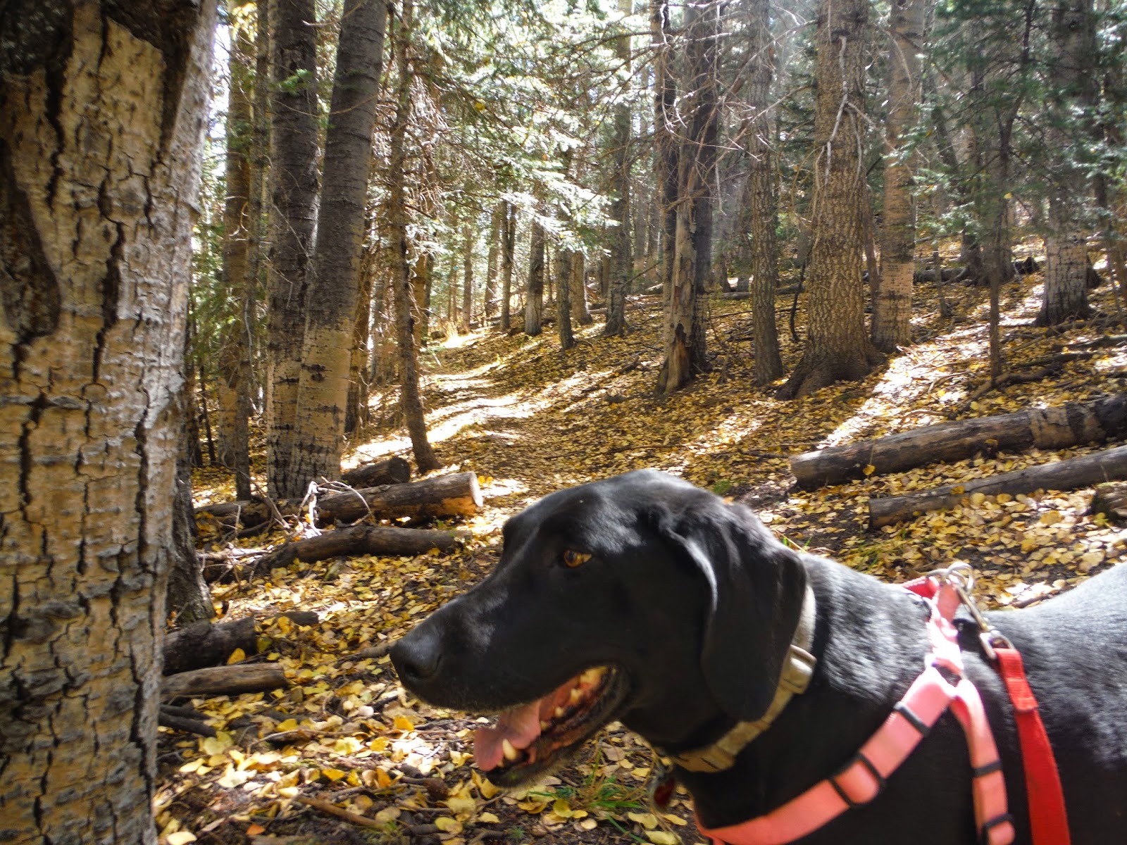
 Now for a day of rest on the North Rim to just relax and do some sight seeing. My daughter and her dog had been hanging out by the lodge all day waiting for us. Seems like a group of tourists took a liking to her hound dog and were snapping photos of her.

My Fitbit said that I had taken 62,000 something steps at the end of the day! Wow, I sure was tired.

Sunday, May 11, 2014

Happy Mother's Day

 More hiking today. This is our last weekend before the Grand Canyon hike. We began at the Greenside Cafe in Cedar Crest for a Mother's Day Breakfast. With the omnision of potatoes the shrimp and asparagus was pretty Paleo and very tasty.

We began our hike at the Cinega Picnic Grounds. We had to hike up the road the last mile because it is early in the season and the area is still closed to cars. From the picnic area it was a short walk up to the Faulty Trail where we took off South. The first two photos are on the Faulty Trail. This trail runs along the East side of Sandia Crest and
 winds around the middle of the mountain all the way to the South end. It is gentle up and down hill. I did take a spill coming down a section where there were a lot of loose small rocks. My thumb is pretty beat up as I whacked it against a fallen tree as I fell. The nail looks bad and there is a nice flap of skin on the top........ouch!

We hiked about 2 1/2 miles to the Canoncito trail and headed uphill. This looks like a very long time ago it was a road as it is wide and not as steep as many of the other trails that go up the mountain. DH was not feeling well and I ended up going
 ahead. When I got to the top I called my mother to wish her a happy Mother's Day. I finally got worried about DH and called him on the cell phone. He said he was not doing well so I headed back down the trail. I found him just 5 minutes off the top lying on the side of the trail. This is not like him at all. Usually he is the one waiting at the top for me. I suggested we just head back down the same trail and cut the day short. He agreed. When we got back down to the Faulty Trail we sat and tried to figure out what would be the best. Go back to where we started or head South an come out in
Tijeras where we planned to end the hike. The Southern route was 2 miles longer. Then there was one more option as the Canoncito trail just continued downhill. We were not sure where that would come out. On DH phone it showed some roads thru a neighborhood. Since he was not feeling very good we decided to bail and take our chances with that. We hiked for about half and hour and came to a rough road and a sign for the trailhead. We took the road down the hill. It went for some ways and then there was a locked gate to keep people out with a no traspassing sign to keep people out of the way we had come down. We went around the gate and continued to another gate and went under that one.....this was again keeping people out. Guess the trailhead had closed some time in the past. We walked quite a ways to the main road and finally called our daughter to come get up. We headed North to the Lazy Lizard Pub. She finally showed up about a mile South of the pub. We had beer, apple beer for me. I had wings and they had Pizza. All and all we hiked over 14 miles. Less than we had planned but still not bad considering that DH was not doing very well.